
From Crayons to Lasers and Beyond: How GPS Transforms Forest Management
This post is part of a series that explores how technology drives the U.S. softwood lumber industry.

The U.S. softwood lumber industry has come a long way since workers used axes to chop down trees and crayons to mark property lines. Thanks in part to an open and competitive market based on fair trade, American lumber mills continue to innovate and grow. One transformation can be seen in the use of GPS and forest mapping technologies.
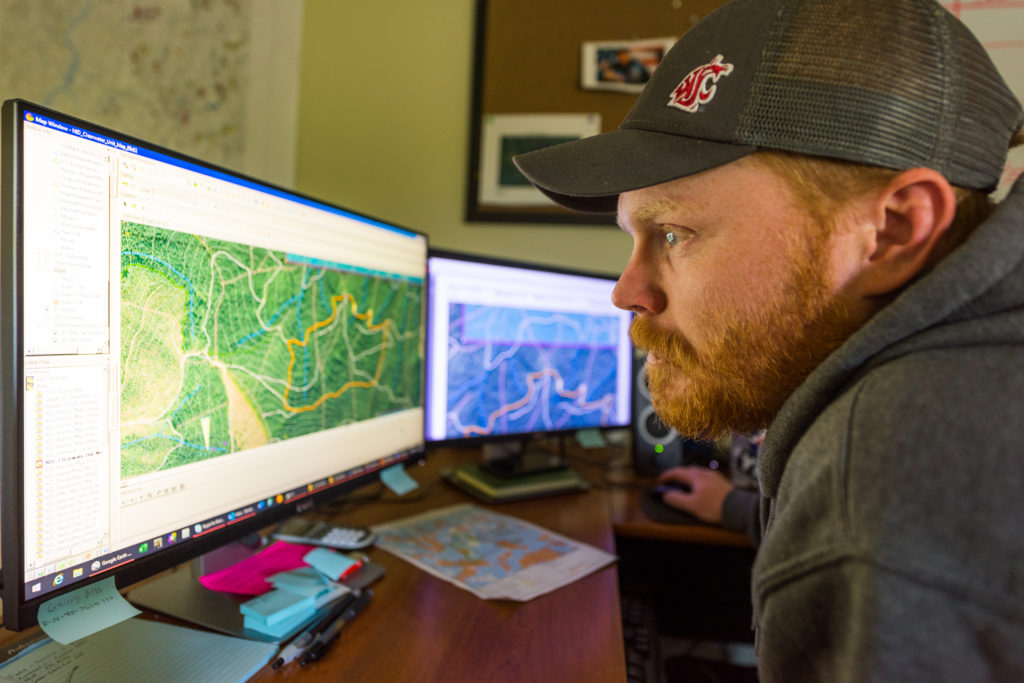
Improvements and greater utilization of GPS in forest mapping is part of the evolution of the industry. Before GPS was commonly used in land management, foresters would rely on time- and labor-intensive processes. Jason Brochu, Co-President of Pleasant River Lumber Company in Maine remarked on the change, saying “a lot of the forestry work that goes on right now is done in front of a computer as opposed to out on the land.”
Now, forest mapping is increasingly automated, and information is fed directly into harvesting equipment, which recognizes property lines and forest maintenance needs. The harvesting equipment also uses what’s called LIDAR (Light Detection and Ranging), an automated remote sensing method that uses light and lasers to create 3D forest maps. This data helps build a clear understanding of current and future timber availability, forest density, topography, and other characteristics. This allows foresters to optimize harvests utilizing sustainable timber management protocols.
Investment in new forest mapping technologies keeps the U.S. softwood lumber industry competitive in a global market, and on the cutting edge of forest sustainability efforts. To learn more about how fair trade helps allow for a competitive international marketplace, visit here.